Direction of preparation, of code 05.03.03
Cartography and geoinformatics
0
places on a budget basis
4
Contract-based places
237 600
₽
tuition cost per year
About the training program
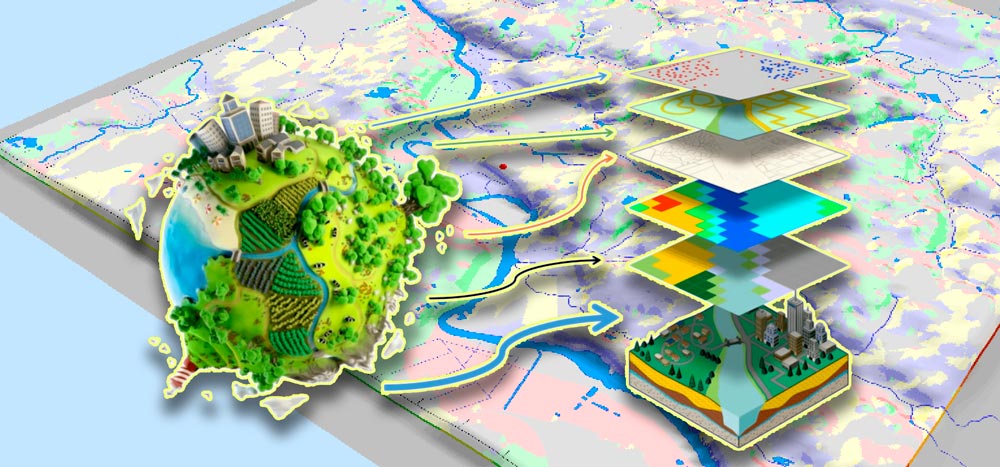
Prepares specialists capable of conducting spatial data analysis, developing cartographic products, and managing geographic information systems in various fields, including ecology, urbanism, nature management, emergencies, and much more.
What do graduates do?
-State institutions and authorities. -Private cartographic companies. -Companies engaged in the development and maintenance of geographic information systems (GIS). -Research institutions. - Oil and gas and mining industries. - Tourism, urban planning and territorial planning. -Agricultural sector. -Sphere of ecology, transport, aviation and navigation. -Military structures.
Entrance exams
Exam 1 of 2
Russian as a foreign language
exam dates
The entrance tests are conducted in a face-to-face format and in a distance form using a proctoring system. Form: test tasks. Duration: 180 minutes. Structure: the examination work consists of part A, A+, part B, including 30 tasks.
Exam 2 of 2
Geography
exam dates
The entrance test in geography is conducted in writing or using distance technologies in the form of the Unified State Exam (USE).
Duration: 180 minutes.
The structure of the examination task and the evaluation criteria correspond to the Specification of control measuring materials of the USE in geography.
Maximum score -100