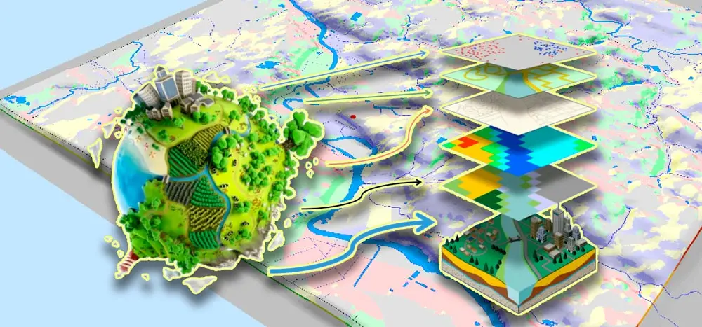
Prepares specialists capable of conducting spatial data analysis, developing cartographic products, and managing geographic information systems in various fields, including ecology, urbanism, nature management, emergencies, and much more.
What do graduates do?
-State institutions and authorities. -Private cartographic companies. -Companies engaged in the development and maintenance of geographic information systems (GIS). -Research institutions. - Oil and gas and mining industries. - Tourism, urban planning and territorial planning. -Agricultural sector. -Sphere of ecology, transport, aviation and navigation. -Military structures.
Entrance exams
Exam 1 of 2
Russian as a foreign language
exam dates
Entrance tests can be held using remote technologies, the connection link will be available on the day of the exam.