About the training program
The main educational program of the master's program provides for the preparation of masters in geodesy and remote sensing for solving research and applied tasks of coordinate-time support for consumers based on methods of space geodesy using global navigation satellite systems (GNSS) GLONASS, GPS, and others, as well as methods of ground and aerospace remote sensing of the Earth's surface. The educational process is carried out at one of the oldest departments of the university - the Department of Astronomy and Space Geodesy of the Institute of Physics of KFU.
What do graduates do?
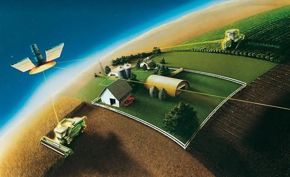
- obtaining measuring spatial information about the Earth's surface, its interior, objects of space, and mapping the Earth's surface or individual territories on plans and maps; - carrying out coordinate-temporal binding of objects, phenomena, and processes on the Earth's surface and in the surrounding space, building digital models of the terrain, performing geodetic monitoring of natural phenomena, processes, as well as engineering and technical structures; - organizing and carrying out work on the collection and dissemination of spatial data both on the territory of the Russian Federation as a whole and in its individual regions with the aim of developing infrastructure.