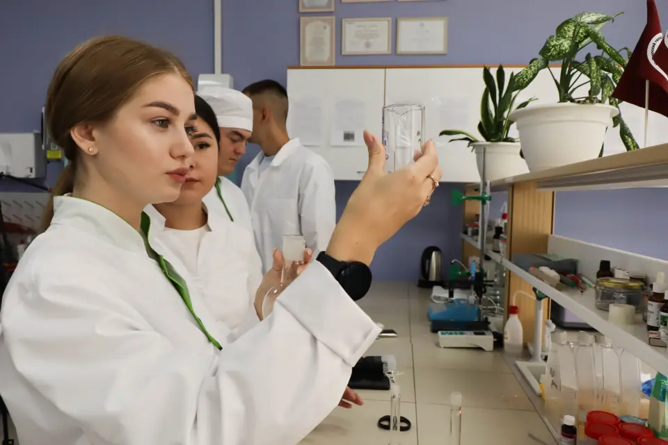
The program is aimed at training cadastral engineers and land resource management specialists. Geodesy, cartography, land valuation, state real estate cadastre management, and land use planning are studied
What will they teach you?
Проводить кадастровую оценку земли и другого недвижимого имущества
Проводить геодезические и картографические работы
Определять координаты и границы земельных участков
Составлять межевые, технические и кадастровые планы
Работать с данными государственного кадастра недвижимости
Выполнять землеустроительную экспертизу и разрабатывать проекты землеустройства
What do graduates do?
Cadastral engineer, surveyor, land surveyor
Entrance exams
Exam 1 of 1
Comprehensive exam "Land Management"
Our other training programs
Hello!Shall we talk?Ask questions!I will answer any question!Any questions?Ask!Any questions left?Ready to help!I will be glad to help!Click on me!
Searching
How to submit documents
Choose a convenient submission method
Online
Outside Russia
ruID
Submit your documents through the ruID app.
You can submit documents using the ruID mobile app — download it from Google Play or the App Store.