About the training program
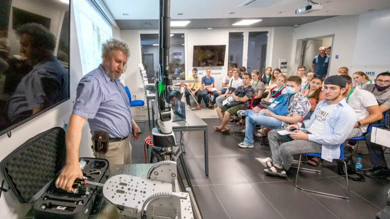
The content of the scientific specialty is the determination of the shape and size of the Earth, its gravitational field, spatial characteristics of natural and man-made objects, phenomena and processes on its surface, geodetic support for surveys, design, construction, and operation of engineering complexes, geodetic monitoring of the stress-deformed state of the Earth's crust and its surface, buildings and structures, and the creation of a geoinformation space as a basic product of geodetic support for territories.