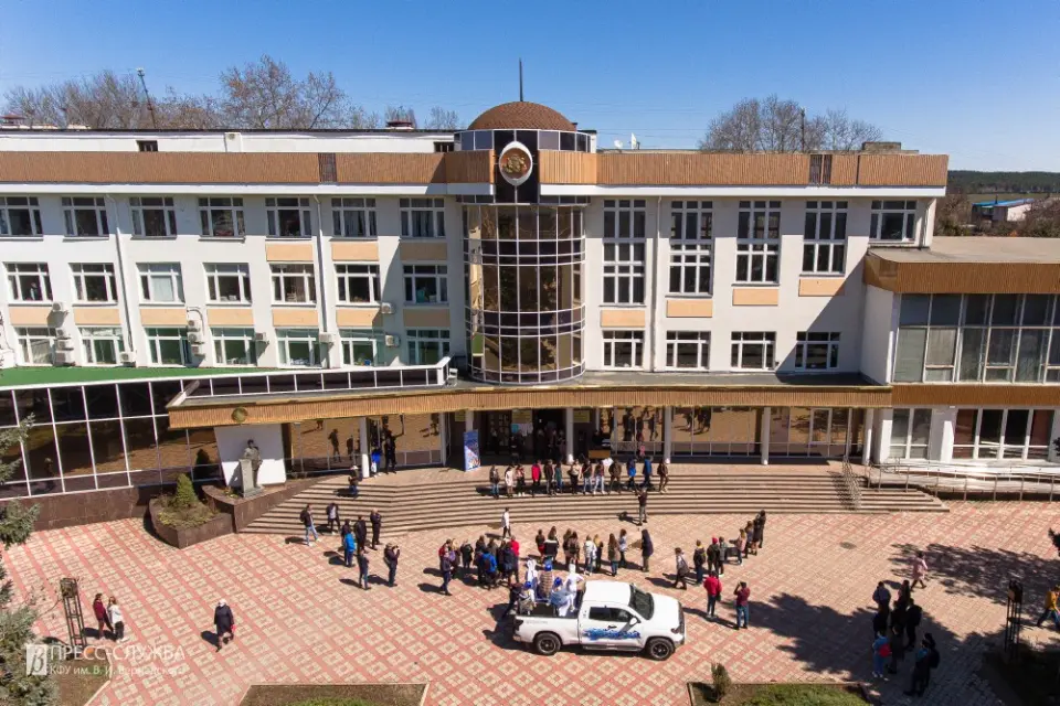
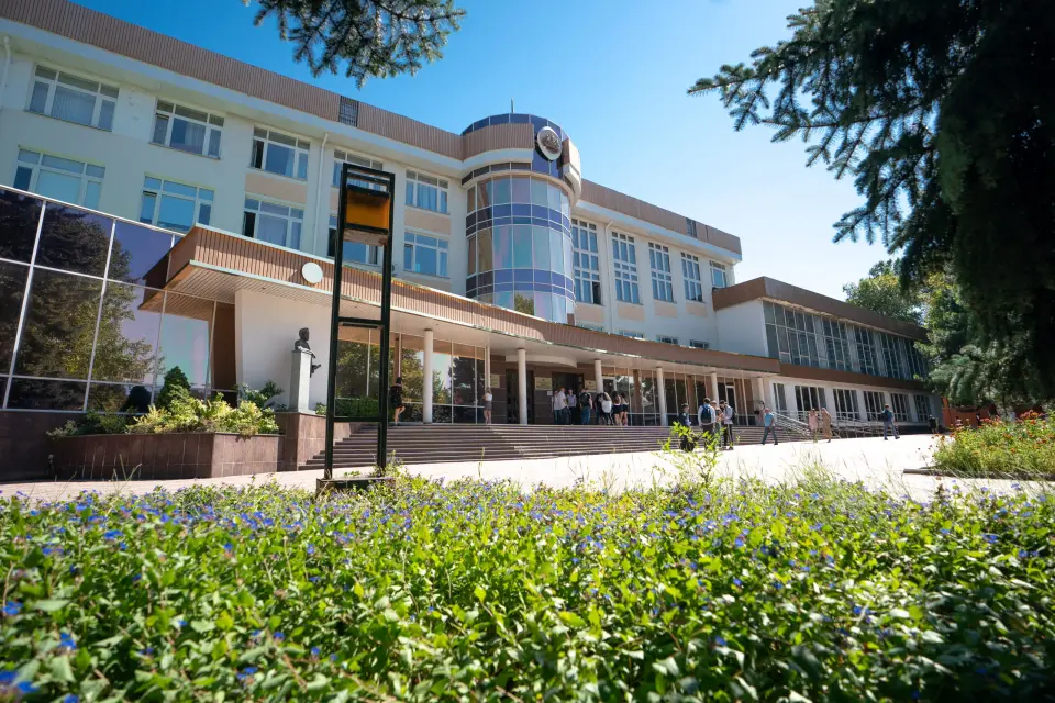
About the training program
The direction of preparation is Land Management and Cadastre. The program is aimed at training specialists in the field of modern technologies for creating land information systems and geodetic support for land management and cadastral works. The training includes the use of ground and satellite geodetic methods. Students acquire knowledge and skills in the field of land management and cadastre, with the possibility of deepening into specific areas of choice. The program also offers additional qualifications related to the digitization of land management processes and automation of production processes, which allows graduates to work effectively in modern conditions
What do graduates do?
Graduates of the training direction "Land Management and Cadastre" have wide opportunities for career growth. They can successfully work as specialists in cadastral accounting, engineers, assistants to cadastral engineers, experts in land and real estate valuation, as well as consultants and realtors. In their professional activities, graduates of this direction are engaged in comprehensive management of land resources and real estate objects, maintain state cadastral accounting, develop land management projects and land survey plans, participate in planning and organizing the rational use of land resources of municipalities at different levels.