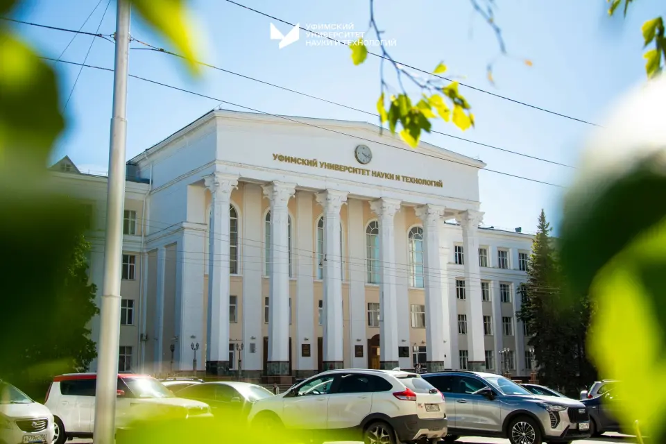
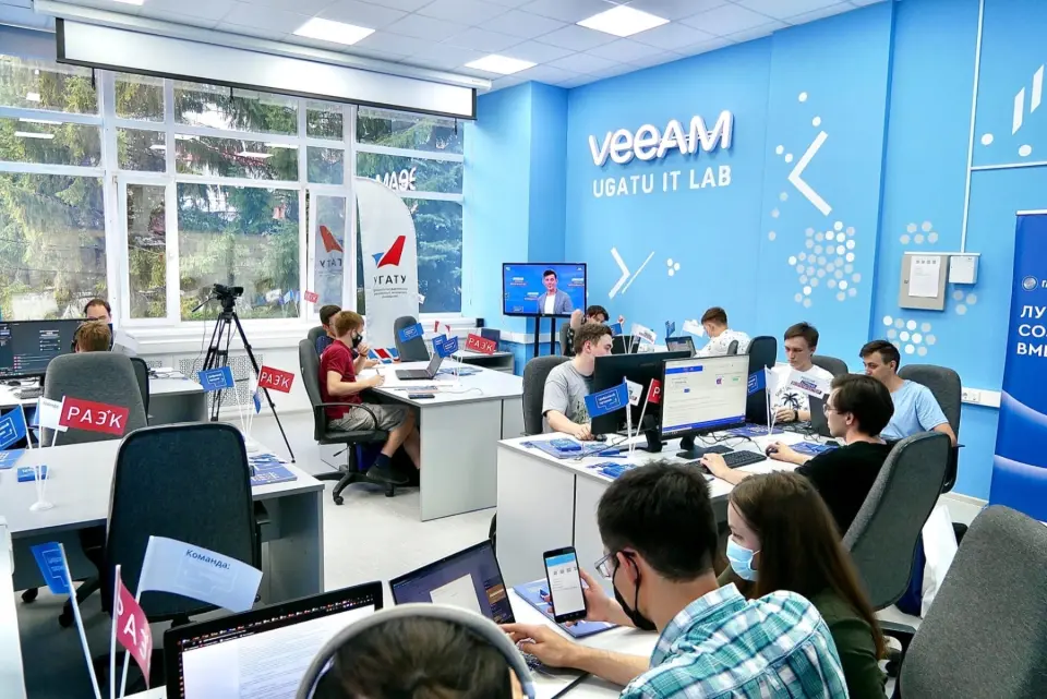
Le programme forme des spécialistes pour effectuer des travaux géodésiques, de cartographie, de surveillance des terres et des infrastructures, d'évaluation de projets et d'activités commerciales.
Que vous apprendront-ils ?
Carrying out office processing of materials of engineering-geodetic and engineering-hydrographic works, creation of products of information systems for supporting urban development activities
Спутниковые определения координат и высот точек местности
Выполнение камеральной обработки материалов инженерно-геодезических и инженерно-гидрографических работ, создание продуктов информационных систем обеспечения градостроительной деятельности
Определение плановых координат точек местности наземными методами
Выполнение топографической съемки местности и съемки подземных коммуникаций и сооружений
Determination of plan coordinates of terrain points using ground-based methods
Carrying out topographic surveys of the area and surveys of underground utilities and structures
Satellite determination of coordinates and elevations of terrain points
Salut !On discute ?Pose des questions !Je répondrai à toute question !Des questions ?Demande !Des questions subsistent ?Prêt à aider !Je serai heureux d'aider !Appuie sur moi !
La recherche
Comment déposer vos documents
Choisissez le mode de dépôt qui vous convient
En ligne
Hors de Russie
ruID
Déposez vos documents via l’application ruID.
Vous pouvez déposer vos documents via l’application mobile ruID — téléchargez-la sur Google Play ou l’App Store.