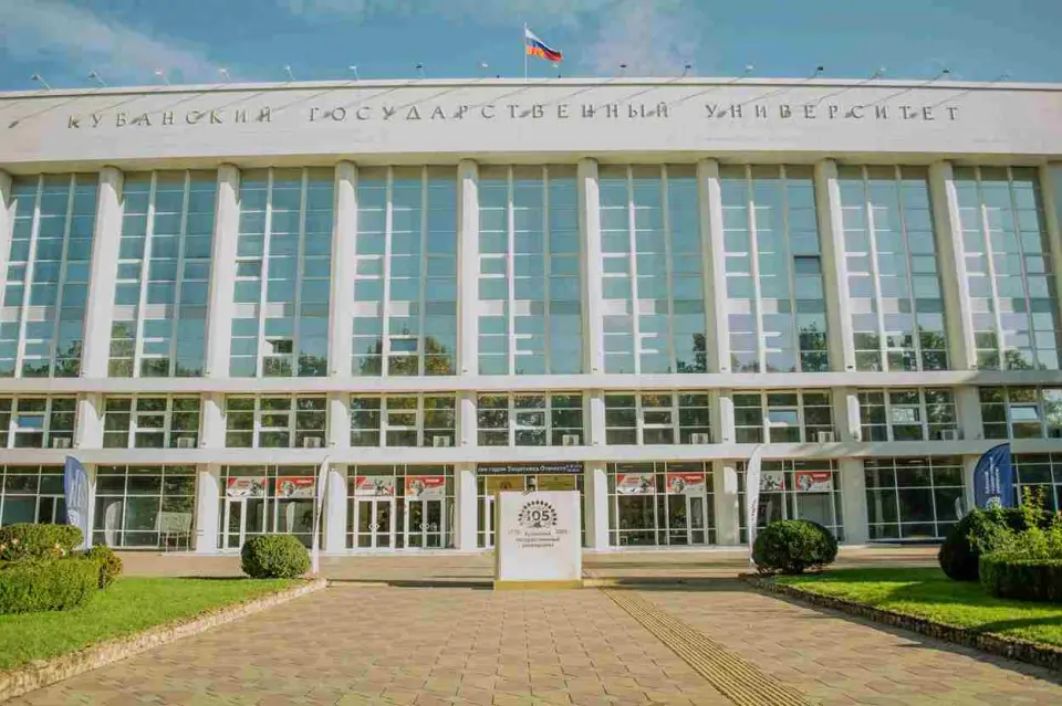
About the training program
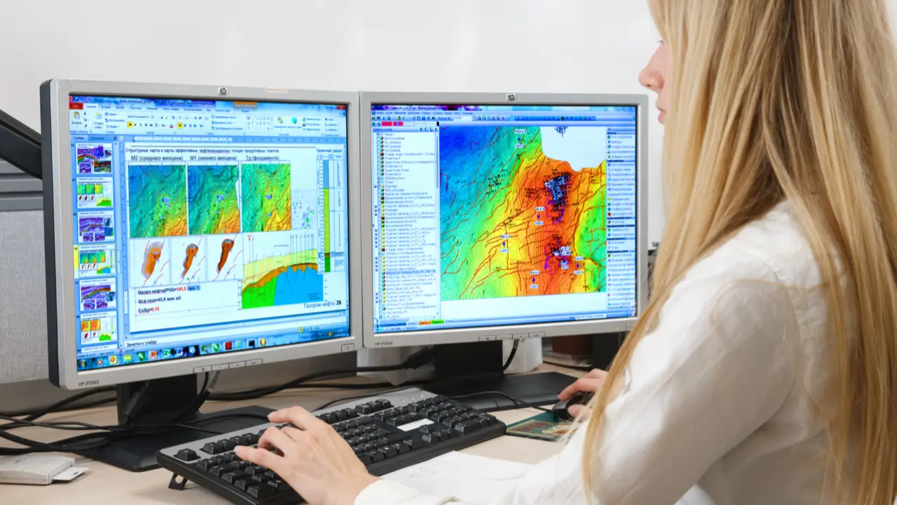
The educational program is aimed at training personnel specializing in the development, management, and application of geographic information systems (GIS). Students are engaged in the collection, analysis, and visualization of spatial data using technologies and tools for processing geographic information. Trainees develop the content of digital maps, terrain-referenced databases, as well as participate in scientific and applied research, where spatial aspects play an important role.
What do graduates do?
Areas of professional activity for graduates in the field of "Cartography and Geoinformatics": communications, information and communication technologies, architecture, design, geodesy, topography, cartographic design, rocket and space industry, as well as cross-cutting activities: programmer, information resource specialist, technical writer, specialist in the field of cadastral registration, specialist in the application of geoinformation systems and technologies for solving tasks at the state and municipal levels.