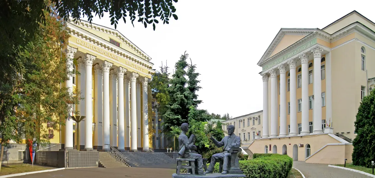
About the training program
The program is aimed at training specialists in the field of geographic information technologies (GIS), providing monitoring, analysis, and management of territorial development. As part of the training, students will study methods of collecting, processing, and interpreting geospatial data, applying GIS for designing, forecasting, and optimizing natural resource use, urban planning, land relations, and infrastructure solutions. The program provides for the study of both traditional methods of geodesy and cartography, as well as modern digital technologies for spatial analysis and modeling. Special attention is paid to issues of state cadastral accounting and registration of rights to real estate objects.
What do graduates do?
The master's qualification allows a graduate to work as a chief surveyor, cartographer, GIS developer, leading engineer, cadastral engineer, as well as a manager in geodetic and construction enterprises, research organizations, the nuclear energy industrial complex, Rosreestr, BTI, and others. Graduates can work in: state and municipal bodies engaged in urban planning and environmental management; IT companies developing GIS solutions for territorial management; environmental and conservation organizations; construction and design bureaus; research institutes and universities.