Applied Geodesy

State University of Land Management
Подать документы
25
Contract-based places
5
places on a budget basis
330 000
Cost of tuition per year

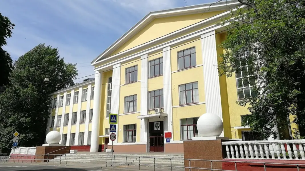
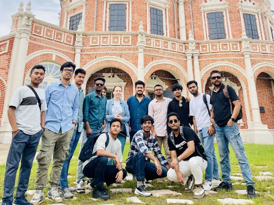
About the training program

The program prepares highly qualified geodetic engineers to perform accurate measurements, survey land plots, and ensure cadastral activities. Students thoroughly study methods of engineering geodesy, modern geodetic equipment (GNSS, electronic tachometers), legal foundations of land relations, and technologies of cadastral work. Graduates become specialists capable of performing the entire range of work on establishing boundaries, creating maps and plans, as well as accompanying land management and construction projects.

What will they teach you?

  • Выполнять высокоточные геодезические измерения (тахеометрия, нивелирование, GNSS-приемники).
  • Создавать и обновлять топографические планы и карты.
  • Работать с геоинформационными системами (ГИС) для анализа пространственных данных.

What do graduates do?

Cadastral Engineer; Surveyor; Assistant Surveyor; Surveyor Engineer; Head of the Engineering and Geological Survey Department.

Pass score on budget

2025
190
2024
116
2023
119

Earnings of specialists

от50 000 ₽
without experience
Beginner
of160 000 ₽
1-3 years
Experienced
of210 000 ₽
from 3 years old
Expert

Entrance exams

Exam 1 of 3

Informatics and ICT / Physics / Geodesy

Exam 2 of 3

Russian language

Exam 3 of 3

Mathematics / Applied Mathematics

Our other training programs

Hello!Shall we talk?Ask questions!I will answer any question!Any questions?Ask!Any questions left?Ready to help!I will be glad to help!Click on me!