Aerospace Earth exploration, photogrammetry

State University of Land Management
Подать документы
10
Contract-based places
0
places on a budget basis
336 300
Cost of tuition per year

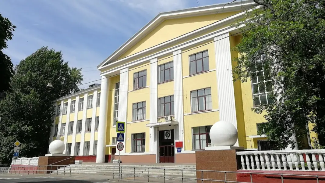
About the training program

The program prepares specialists in the field of obtaining, processing, and analyzing Earth remote sensing data for solving cartography, cadastre, environmental monitoring, and territorial planning tasks. Students study the physical foundations of aerospace imaging, digital photogrammetry, image decoding, working with geographic information systems, and modern software for creating 3D models and accurate maps. Graduates are capable of working with materials from space and aerial photography in state and commercial organizations engaged in land management, forestry, agriculture, nature management, and urban planning.

What will they teach you?

  • Разрабатывать новые алгоритмы и методики для автоматизированного дешифрирования снимков, создания высокоточных 3D-моделей и цифровых двойников территорий.
  • Создавать инновационные решения для комплексного мониторинга природных и антропогенных объектов с использованием данных ДЗЗ и искусственного интеллекта.
  • Разрабатывать и преподавать учебные курсы по дисциплинам «Дистанционное зондирование Земли», «Фотограмметрия», «Геоинформационные системы» и «Цифровая обработка изображений».

What do graduates do?

Research Associate; Associate Professor/Department Professor; Head of Geodata and Remote Sensing Department; Scientific Consultant.

Earnings of specialists

от80 000 ₽
without experience
Beginner
of150 000 ₽
1-3 years
Experienced
of300 000 ₽
from 3 years old
Expert

Entrance exams

Exam 1 of 2

Foreign Language / Philosophy

Exam 2 of 2

Special discipline

Our other training programs

Hello!Shall we talk?Ask questions!I will answer any question!Any questions?Ask!Any questions left?Ready to help!I will be glad to help!Click on me!