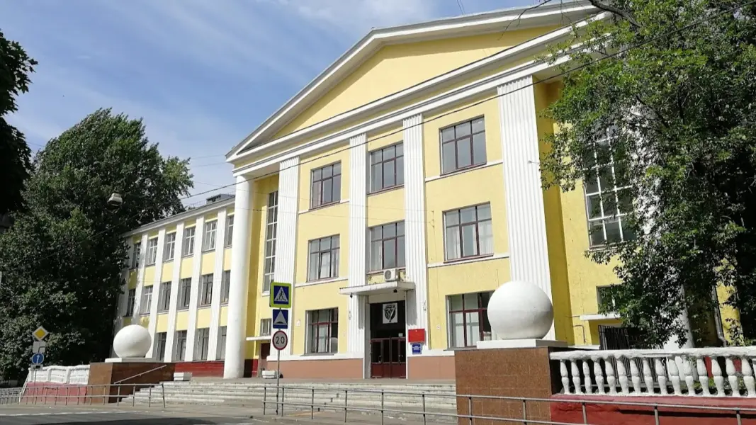
About the training program
The program prepares highly qualified scientific and pedagogical personnel for conducting fundamental and applied research in the field of geodesy, remote sensing, and navigation technologies. The main attention is paid to the development of new methods and algorithms for high-precision measurements, processing of geospatial data, creation and improvement of geodetic networks, as well as the application of modern technologies (GNSS, UAV, laser scanning) for solving cartographic, cadastral, deformation monitoring, and engineering survey tasks.