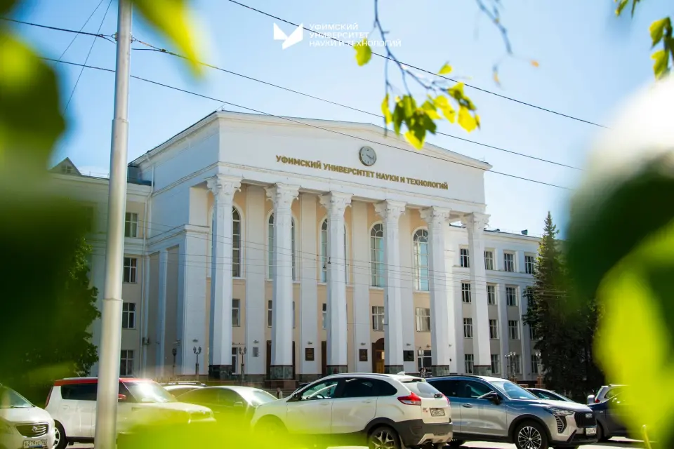
The program trains specialists to perform geodetic work, cartography, land and infrastructure monitoring, and project and business assessment.
O que você aprenderá
Carrying out office processing of materials of engineering-geodetic and engineering-hydrographic works, creation of products of information systems for supporting urban development activities
Спутниковые определения координат и высот точек местности
Выполнение камеральной обработки материалов инженерно-геодезических и инженерно-гидрографических работ, создание продуктов информационных систем обеспечения градостроительной деятельности
Определение плановых координат точек местности наземными методами
Выполнение топографической съемки местности и съемки подземных коммуникаций и сооружений
Determination of plan coordinates of terrain points using ground-based methods
Carrying out topographic surveys of the area and surveys of underground utilities and structures
Satellite determination of coordinates and elevations of terrain points
Olá!Vamos conversar?Faça perguntas!Respondo a qualquer pergunta!Tem dúvidas?Pergunte!Restam dúvidas?Pronto para ajudar!Fico feliz em ajudar!Pressione em mim!