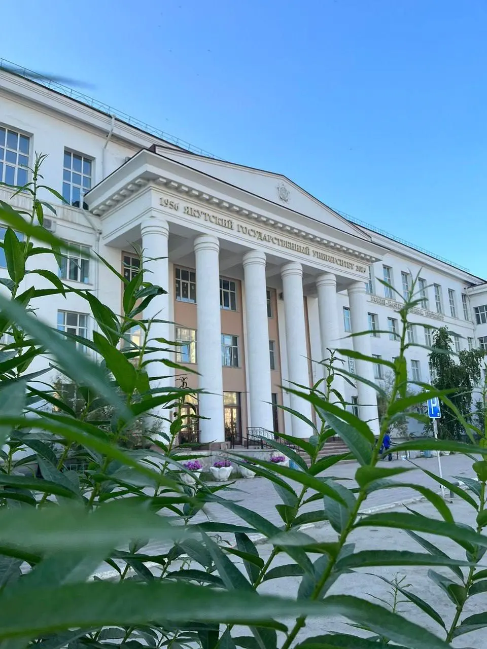
О программе обучения
Программа "География (Прикладная геоматика)" ориентирована на подготовку специалистов в области геоинформационных технологий, картографии и прикладного анализа пространственных данных. Студенты изучают методы сбора, обработки и визуализации географической информации с использованием ГИС, дистанционного зондирования и геоматики. Программа включает модули по геодезии, картографическому моделированию, экологическому мониторингу и применению технологий в урбанистике, природопользовании и территориальном планировании. Выпускники приобретают навыки для решения задач в области устойчивого развития, управления природными ресурсами и цифровой трансформации территорий.
Кем работают выпускники?
Выпускники работают географами, картографами, специалистами по геоинформационным системам (ГИС), аналитиками пространственных данных, преподавателями географии и геоматики, консультантами в области экологии и урбанистики. Например, в государственных органах (Росреестр, Минприроды) они занимаются картографией и мониторингом территорий; в коммерческих компаниях (Яндекс, ГИС-компании) — разработкой приложений и анализом данных; в образовании — преподаванием и научными исследованиями.