About the training program
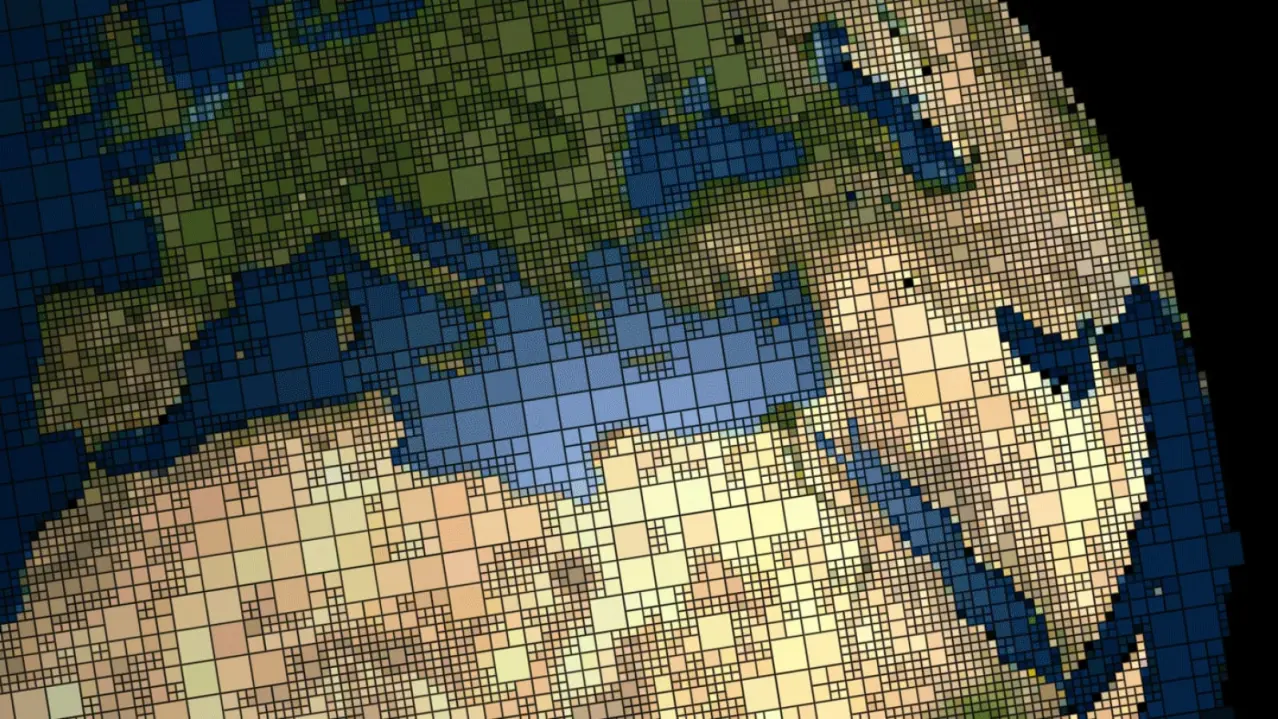
The master's educational program "Geoinformational Mapping" aims to form universal and professional competencies, develop knowledge of theory and modern technologies in the field of collection, processing, interpretation, and analysis of spatial information, including big data. Students master modern methods of creating and using cartographic images, geoinformation systems, databases, web resources, and other spatial models. Students are prepared for in-demand labor market activities in the field of cartography and geoinformatics.
What do graduates do?
Graduates of the program are employed in the following positions: GIS specialist, spatial data analyst, web and multimedia application developer, GIS application developer, machine learning specialist, research associate, cartographer, topographer, map editor, technical map editor, cadastral registration specialist.