About the training program
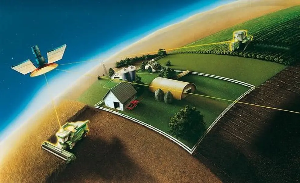
Bachelors perform work on coordinate-temporal binding of objects, phenomena, processes on the surface of the Earth and other celestial bodies, as well as their representation on plans and maps. The professional activity of bachelor's graduates is related to: application of modern methods, technologies, algorithms, programs, and methodologies for solving problems in various areas of geodesy, coordinate-temporal and navigational support for consumers, engineering-geodetic surveys, and geodynamics; participation in the preparation of projects for the production of topographic-geodetic works and remote sensing of territories; performance of geodetic measurements and remote sensing of the Earth;