About the training program
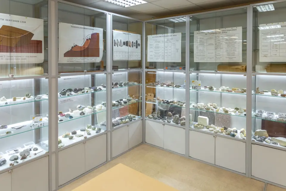
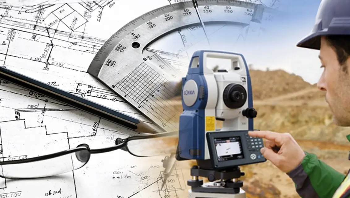
The training focuses on the management of land resources, including the measurement, assessment and planning of land use, as well as the development of cadastral systems for the proper registration of land plots. The training includes courses in geodesy, cartography, land management, soil science and engineering geology, legal support of land management and cadastral records, real estate cadastre, land use economics, GIS (geographic information systems) systems and Earth remote sensing technologies. Graduates have competencies in the field of geodetic and cadastral work, know methods of land valuation, and can use modern equipment and software.
What do graduates do?
1. Consider issues of effective land resource management, conducting their cadastral accounting, assessment, and planning for the development of the territory; 2. Participate in the creation and maintenance of cadastral registers, conducting expertise and assessment of land plots, in optimizing the distribution of land resources; 3. Contribute to the settlement and prevention of land ownership disputes and ensure sustainable development of territories; 4. Preparation of territorial zoning maps and urban planning regulations.