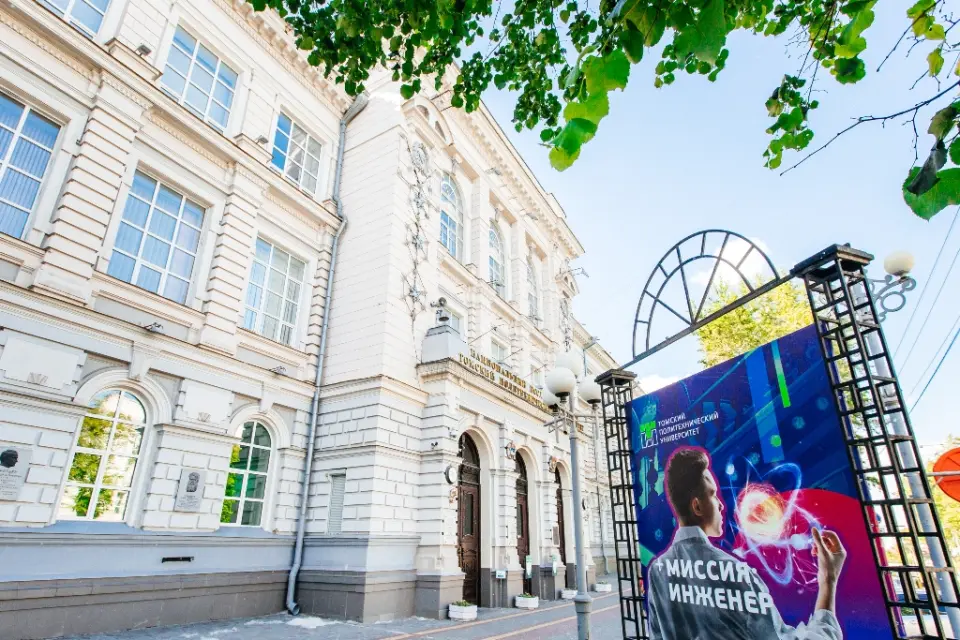
Modern Technologies in Cadastral and Land Management Activities The goal of the program is to prepare highly qualified specialists capable of operating in various areas of spatial data using modern technologies (global and local satellite systems, ground-based laser scanning, unmanned aerial photography, and photogrammetric processing) and special software complexes for solving tasks in the field of geodesy, cartography, state cadastral accounting, and state registration of rights to real estate and land management objects, as well as in related areas of land and property relations.
What will they teach you?
знание законодательства РФ в сфере государственного кадастрового учета и смежных областях знаний
выполнение беспилотной аэрофотосъемки квадрокоптером, наземного лазерного сканирования
создание разделов тематических карт на геопортале с использованием современных технологий
выполнение кадастровых работ в отношении недвижимого имущества с использованием специализированного ПО.
использование геоинформационных систем (QGIS, ArcGIS, CREDO и др.) и информационно-коммуникационных технологий для анализа и оценки пространственных данных
использование GNSS приемник совместно с лазерным тахеометром и выполнение обработки полученных пространственных данных в специализированном программном обеспечении
What do graduates do?
Geodetic Engineer Cadastral Engineer Graduates of the master's program are in demand in executive authorities of various levels and other enterprises using spatial data in various areas of activity, for example, in the field of geodesy, cartography, geoinformatics, as well as land management, cadastral and urban planning activities, real estate management, planning of spatial development, in the development and adjustment of general plans, preparation of strategic and program documents
Pass score on budget
2024
61
2023
62
2025
66
Earnings of specialists
от70 000 ₽
without experience
Beginner
of90 000 ₽
1-3 years
Experienced
of110 000 ₽
from 3 years old
Expert
Entrance exams
Exam 1 of 1
Computer testing in the direction of preparation
exam dates
Entrance tests can be held using remote technologies, the connection link will be available on the day of the exam.