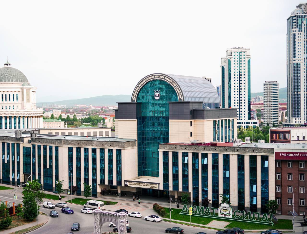
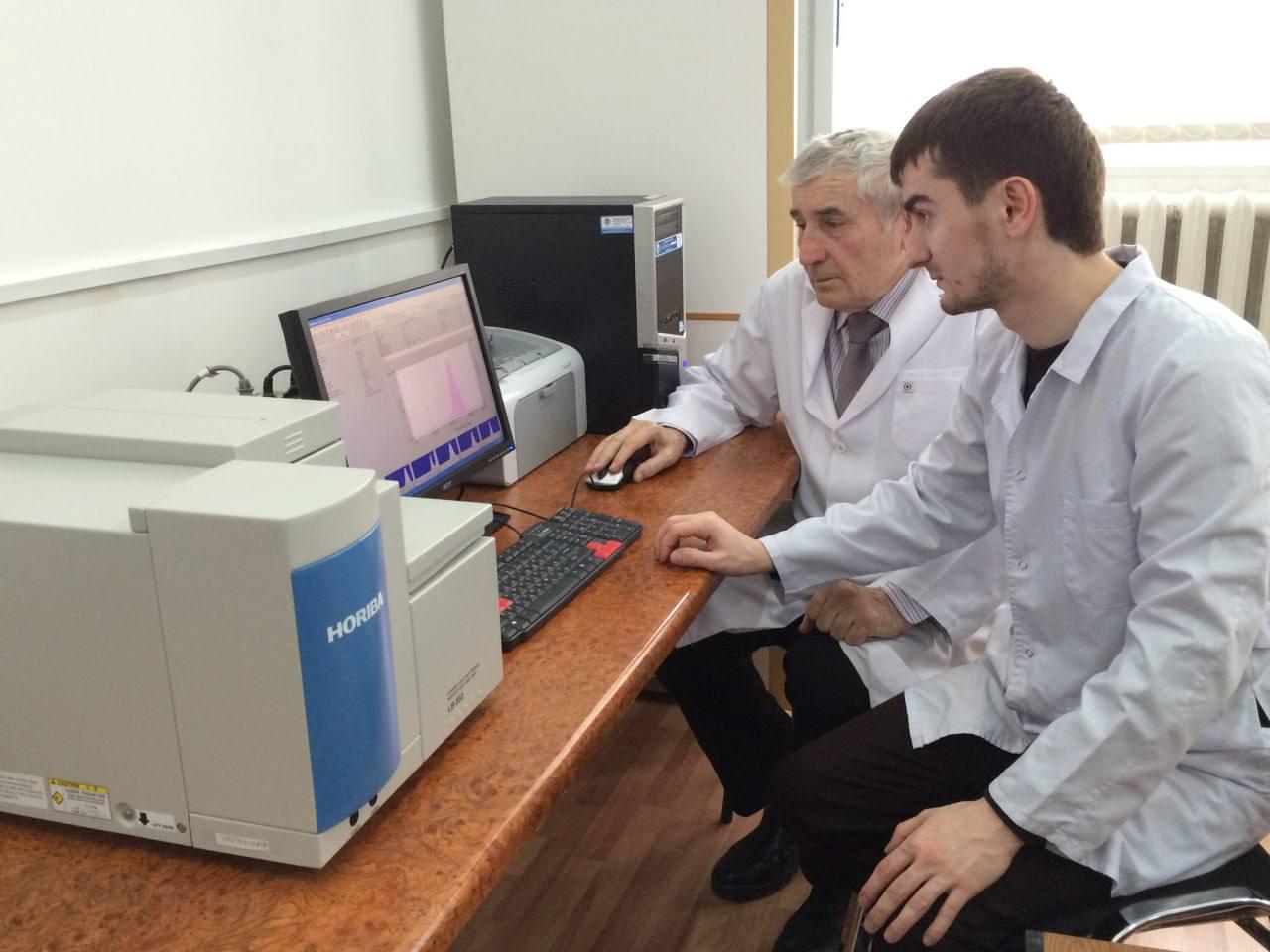
About the training program
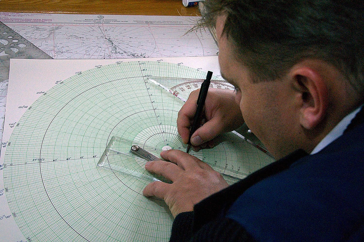
The program is aimed at training specialists in the field of creating and using geographic information systems (GIS), cartography, and remote sensing. The training direction covers a wide range of knowledge from theoretical and practical cartography to modern geoinformation technologies. The training includes courses in cartography, topography, geodesy, photogrammetry, remote sensing, databases, programming and spatial data analysis. The geography module includes earth science, soil geography, hydrology and geomorphology.
What do graduates do?
Graduates of the "Cartography and Geoinformatics" program can work in various fields related to geography, cartography, and geodata processing. The main areas of employment include: Geographic Information Systems (GIS): specialists in the creation, analysis, and management of geographic information systems;
Cartographers: development and creation of maps of various types for scientific, educational, and practical needs; Remote Sensing Specialists: analysis of data obtained from satellites and unmanned aerial vehicles