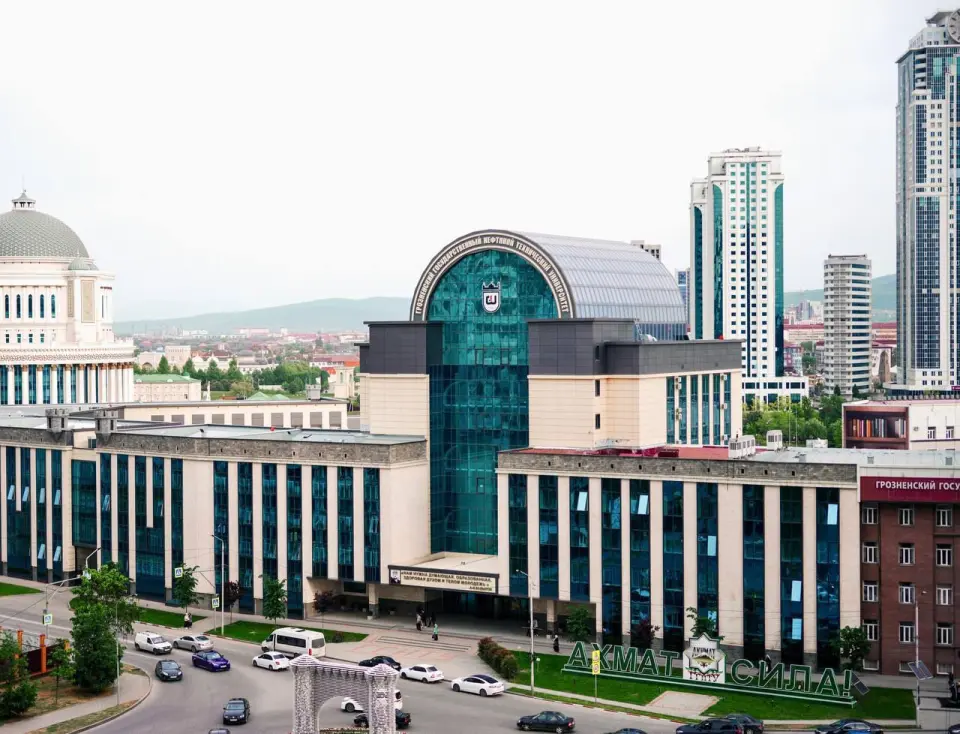
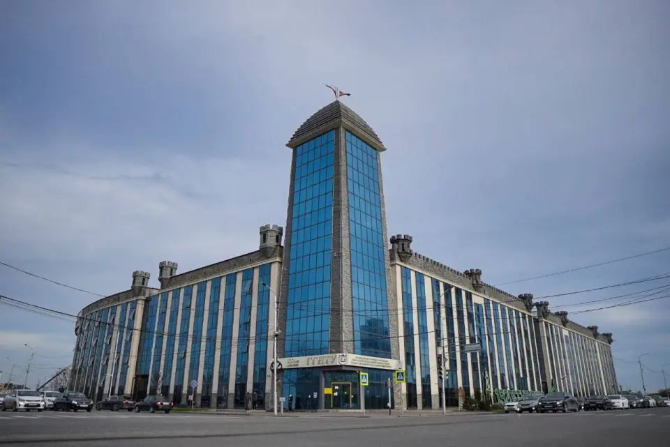
About the training program
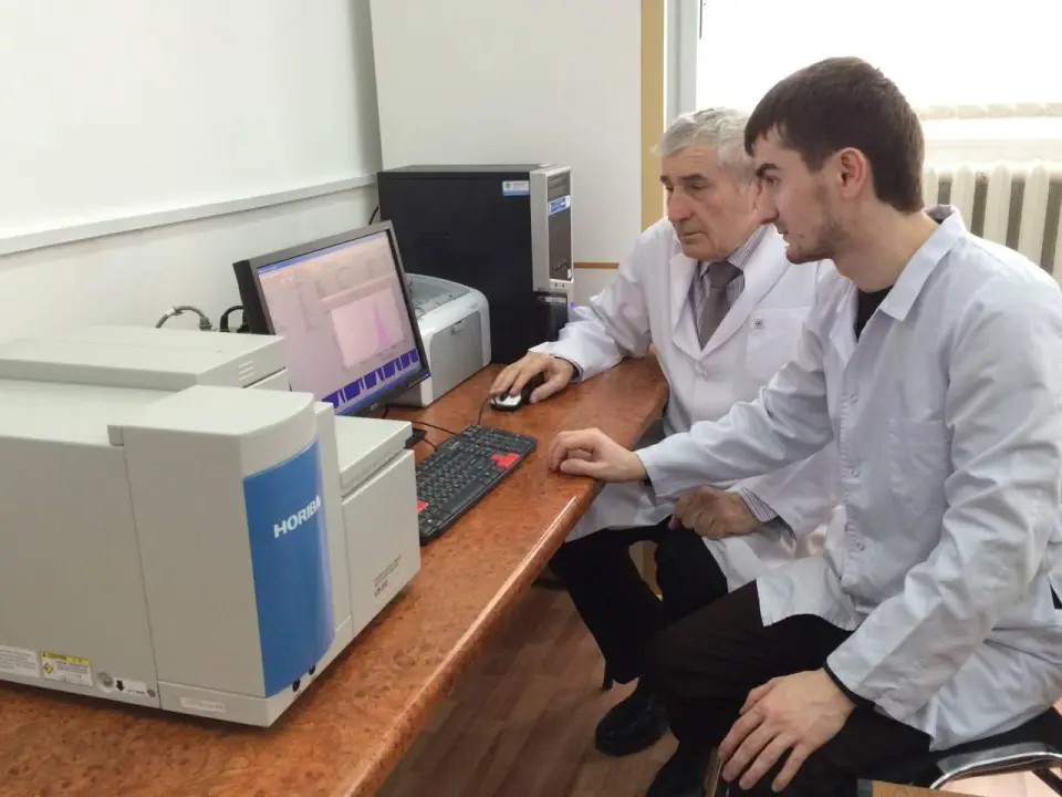
The graduate program direction "Geoinformatics, Cartography" (often within broader codes such as 05.03.03 Cartography and Geoinformatics, 09.03.02 Geoinformation Systems) studies working with spatial data, creating maps and GIS, satellite images, drone data for solving problems in construction, ecology, transport, developing navigators and online maps. The graduate program allows for in-depth study of science and technologies in this field, preparing for dissertation defense.